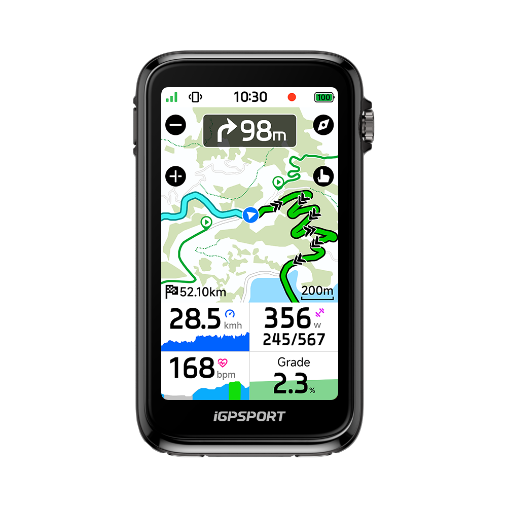
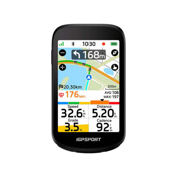
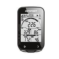




BSC500
Service & Benefits
15-Day Return Policy
Shop with confidence at iGPSPORT. Not completely satisfied with your purchase? You can request a return within 15 days of delivery. Items must be unused, unactivated, and in their original condition, with all packaging and accessories included. Return shipping fees may apply. Learn More ›
Easy Returns
Simply request a return through your customer account or contact us at support@igpsport.com. We'll review your request within 2 business days and provide return instructions once approved. Learn More ›
Refund Processing
Once approved, refunds are issued to your original payment method, typically within 7–14 business days, depending on your bank or payment provider. Learn More ›
Free Shipping on Most Orders
Enjoy free shipping on most eligible orders at iGPSPORT. Shipping fees may apply to certain destinations or orders that do not meet the free shipping requirements. Any applicable shipping costs will be displayed at checkout. Learn More ›
Ships Within 24 Hours
We aim to ship your order within 24 hours on business days, so you can get your cycling gear sooner. Learn More ›
Delivery in 2–5 Days
Your order is typically delivered within 2–5 days after shipping. Actual delivery times may vary depending on your location and local carrier conditions. Learn More ›
Frequently bought together


 SR mini
×1
AU$139.99
 VS1800S
×1
AU$139.99
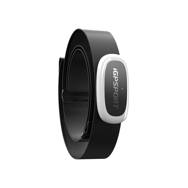
 HR50
×1
AU$49.99


iGPSPORT BSC500
See More. Ride On.
Built Around Your Next Ride


3.3-Inch TFT, All-Weather Clarity
25h battery, clear color touch, IPX7 and an aero fit for multi-day rides.


One-Tap Online/Offline Routes
App search/plan; road names, DEM, north-up, auto-zoom; retrace/fastest home.


Turn-by-Turn Voice, Bell and Alerts
Hear angles/direction; toggle voice; Di2 bell for traffic or night rides.


Get Back on Course with Ease
Off-course alerts and online rerouting guide you back on unfamiliar routes.


Dual-Band Accuracy from the Start
Fast dual-band, five-system fixes track city and mountain rides accurately.


iClimb 2.0: Preview and Pace Climbs
Precise altitude, Grand Tour grades, start/end; maps and climb data.


Virtual Trainer Rides, Auto FTP
App courses/custom plans; TrainingPeaks data sync and analysis.


20+ Smart Tools for Every Ride
Activity, call and message alerts; camera, music, weather and fueling tools.
Big-screen clarity. Simple control.
Designed for a Clearer Ride


A 3.3-inch TFT color touch screen bike computer with automatic brightness and fluid control keeps turns and key data clear in changing light.
Take a bike computer for bikepacking and longer rides: up to 25 hours of battery life, with power-saving mode for more time between charges.
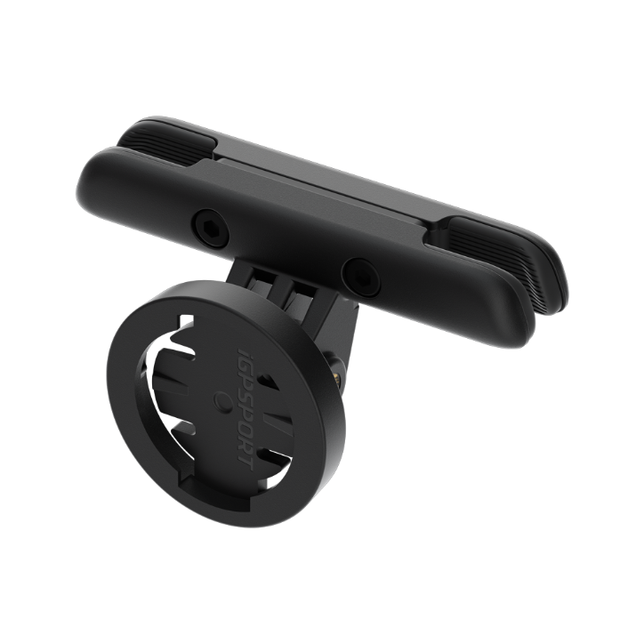
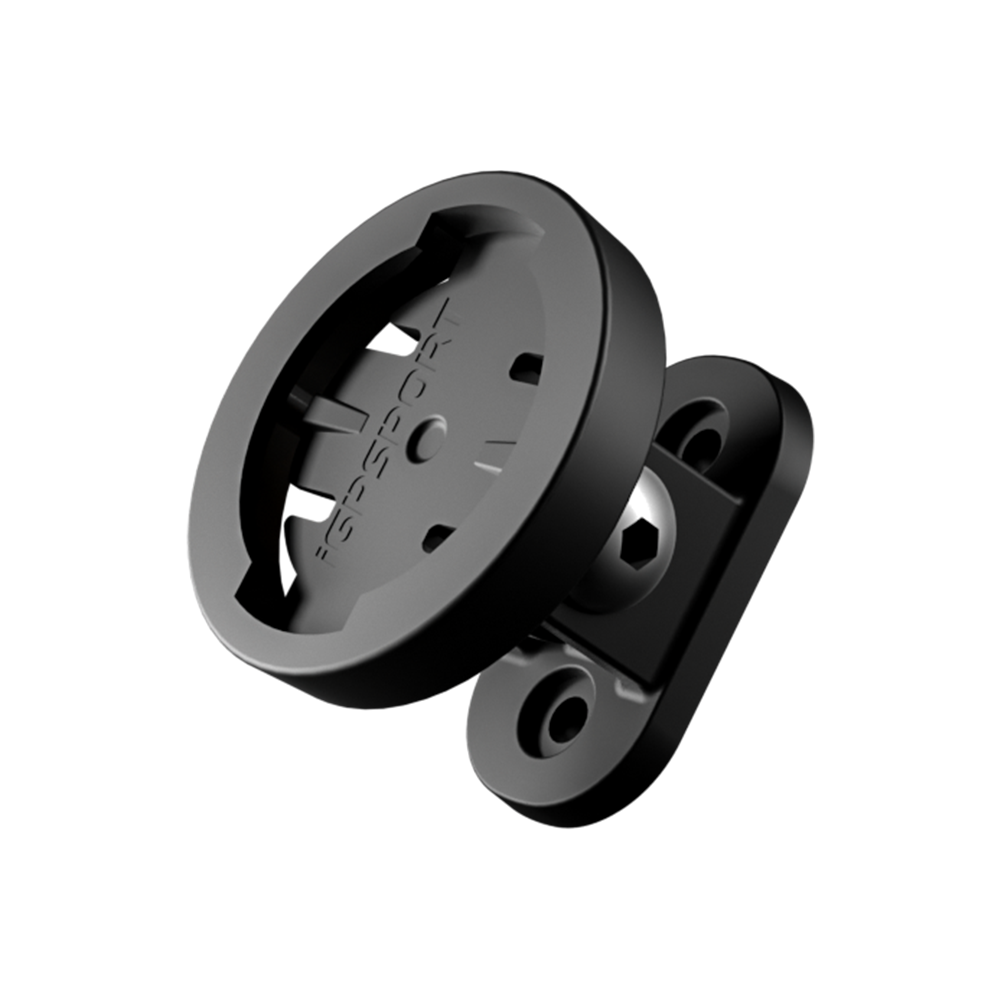
An aerodynamic, streamlined profile fits neatly on your bike, bringing the BSC500 into your setup with a shape designed around the ride.
A waterproof bike computer rated IPX7, with touch and three buttons, a simple interface and quick access to ride data, even when the weather turns.
Navigation Keeps You Moving
More route options. More confidence.


One Click from App to Adventure
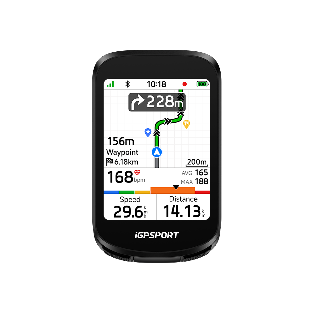
Search for a destination in the iGPSPORT App, let it plan your route and send it to BSC500. Global offline OpenStreetMap maps display road names and DEM terrain, with north-up viewing and support for ride assistance points.


Find Your Position, Hold Your Line
Dual-band L1+L5 GNSS gives you a fast position fix when you switch on. Track your route accurately between tall buildings or through mountain terrain, so you can start riding with confidence.


Turn-by-Turn Guidance You Can Follow
A turn by turn navigation bike computer that shows pop-up directions, flashes the screen and zooms the map as turns approach. Progressive alerts pair with synchronized front and rear iGPSPORT smart-light flashes to alert you and nearby road users.


Listen to Your Route Ahead
Built-in voice navigation announces the angle and direction of upcoming turns, helping you follow your route while keeping your eyes on the road ahead.


Rerouting 2.0
A New Way Back When You Go Off Course
Off-Course Rerouting 2.0 supports online and offline rerouting. Get an alert when you leave your route and follow recalculated directions, whether you are exploring unfamiliar roads or riding farther from home.


Resume Later
Pause Today. Pick Up Tomorrow.
Use Resume Later to keep a multi-day ride together. Start navigation once, then continue the remaining route and recording on your next ride for one complete activity and track, without manually stitching files together.


Back to Start
Find Your Way Back to the Start
End a ride early without losing your way home. Choose to retrace your original route or take the shortest return route, with navigation back to your starting point.
Pace Every Ascent with iClimb 2.0
Climb previews. Better pacing.
Know the Climb Ahead
Grand Tour climb grades and live gradient colors, including red for steep slopes, show the effort ahead. Preview remaining ascent, distance and average or maximum gradient to pace each climb.


Structured sessions, indoors and out.
Make Every Session Count


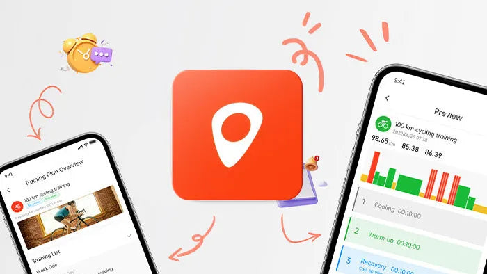
Send app courses and plans for indoor/outdoor training. Track speed, altitude, cadence and heart rate, with automatic FTP detection.
App workouts/plans, bpm and trainer settings; resistance, power or slope route simulation; TrainingPeaks data sync and structured workout downloads.
Your Data, Your View


Advanced Ride Metrics
130+ Metrics for Deeper Ride Analysis
Record 130+ ride metrics and connect compatible sensors to analyze cycling dynamics. Review speed, heart rate, cadence and power alongside power-to-weight ratio, left/right balance, TSS and NP for a deeper view of each ride.


Custom Data Pages
Make Your Ride Data Work for You
View graphical ride data with up to 12 fields per page and up to 13 pages. Choose navigation and ride metrics, then personalize the layout in the iGPSPORT App with 22 page component templates.
Connect Your Riding World
Devices and data, working together.


One Computer, More Connections
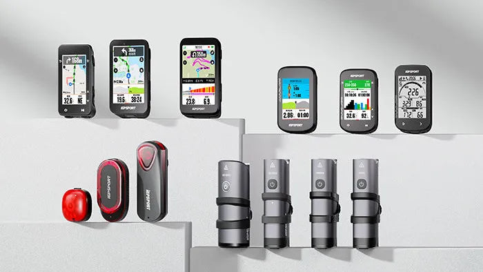
Connect speed, cadence, heart rate and power sensors, a smart trainer, SHIMANO Di2, SRAM eTap or Campagnolo EPS shifting, a compatible e-bike, radar and iGPSPORT smart lights.


Your E-Bike Data, Together
See your compatible e-bike battery level, navigation and ride data on one screen. Check the information you need without switching pages as you ride.


Keep Your Devices in Sync
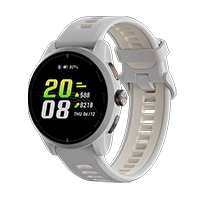
iGPLink brings watch heart-rate sharing and ride-status alerts to your connected setup, with data transfer between bike computers and smart-light linking.


One App for Your Riding Life
The iGPSPORT App automatically syncs ride data, makes analysis easy to view, and organizes routes and training through a connected cloud-based ecosystem.
Connected tools for the road ahead.
Smarter Support on Every Ride


Sync with Strava, Komoot, TrainingPeaks, Ride with GPS, Insta360 and DJI Mimo for ride sharing, route transfer and training data or workouts.
Activity detection reminds you to record. Control your camera and music, and view texts, calls and social app notifications from your paired phone.
Smart Turn Alerts adjust the warning distance to your current speed, giving you a timely prompt to prepare for the next turn along your route.
Use the electronic bell and alerts on busy roads or night rides, with SHIMANO Di2 control. Switch navigation voice prompts on or off to suit your ride.
You might also like
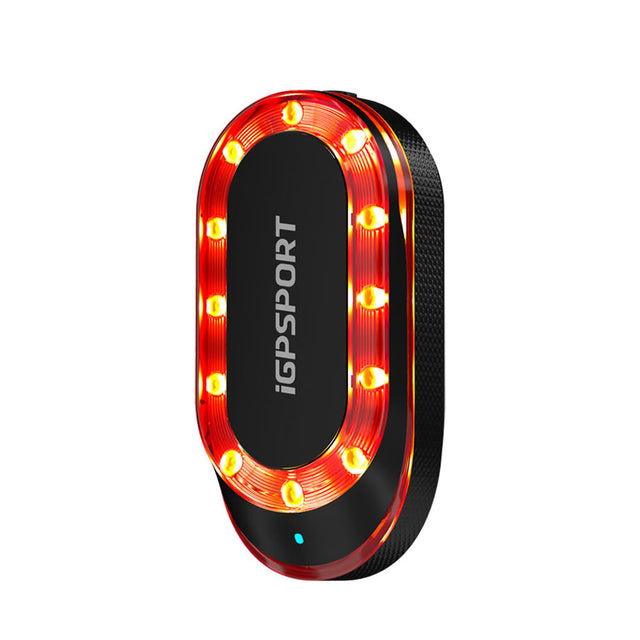
SR mini
【8 Targets at Most】- The radar can monitor up to 8 targets simultaneously. The side of ...
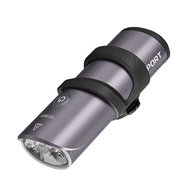
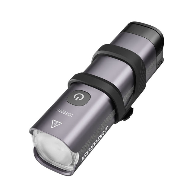
VS1800S
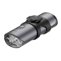
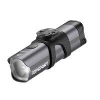
【Guarding Your Night Riding】 - The 1800 lumen bicycle headlight uses the professional T...
Specs & Comparison
Compare
What's in the Box
Device Only
- BSC500 Smart Bike Computer ×1
- Standard Bike Mount ×1
- Tether ×1
- Quick Start Manual ×1
Bundle
- BSC500 + M80 Mount
- BSC500 + M80 Mount + CAD70 Cadence Sensor
- BSC500 + M80 Mount + HR50 Heart Rate Monitor
- BSC500 + M80 Mount + HR70 Heart Rate Monitor
- BSC500 + M80 Mount + HR50 Heart Rate Monitor + CAD70 Cadence Sensor
- BSC500 + M80 Mount + CAD70 Cadence Sensor + SPD70 Speed Sensor
- BSC500 + M80 Mount + CAD70 Cadence Sensor + SPD70 Speed Sensor + HR50 Heart Rate Monitor
- BSC500 + M80 Mount + SR mini Radar Taillight
- BSC500 + M80 Mount + VS1800S Headlight
- BSC500 + M80 Mount + TL50 Taillight
FAQs
What are the ways to create a route?
Roadbooks can be created in four ways: riding activities, APP, official webpage, and third-party APP import.
- Riding Activities:
Open any activity in iGPSPORT APP, click the icon in the upper right corner, and select Save as My Roadbook to complete.
- APP:
1. Open iGPSPORT APP>My>My Roadbook;
2. Click the "+" in the lower right corner to select Amap to create a road book;
3. Enter the name of the starting point in the search bar above to confirm and enter the map, click to set it as the starting point;
4. Enter the name of the destination in the search bar again to confirm and enter the map, click to set it as the destination;
5. The APP pops up the planning route of the roadbook. After confirming that it is correct, click Save > Confirm. The APP will then complete the roadbook creation.
- Official webpage:
Open the official website https://www.igpsport.com to log in, click Roadbook > Create Roadbook to enter the map page.
1. Select the starting point on the map and click the left button of the mouse to confirm the starting point;
2. Select the end point on the map and click the left button of the mouse to confirm the end point;
3. If you need to add a waypoint, you can select a location on the map and click the left button of the mouse to confirm. If you need to delete this waypoint, place the cursor at the waypoint and double-click to delete the waypoint when a cross mark appear.
4. When you are satisfied with the created road book, click [Save] on the page. Enter the title and description of the roadbook, select the type of roadbook, and click [Upload Roadbook] to complete the creation.
5. After saving successfully, you can see this roadbook, or you can find it in the [My Roadbook] list.
- Third-party APP import:
Open iGPSPORT APP>My>My Roadbook, click the "+" in the lower right corner to choose to import the third-party roadbook. If Strava or komoot is authorized successfully, you can synchronize the roadbook produced by Strava or komoot into My Road Book in iGPSPORT APP.
How to use the Bell?
1. On the device, navigate to More > Bell and toggle the touch control button to ON.
2. Once enabled, there are two ways to trigger the bell on the Ride Page:
1)Double-tap the screen.
2)Tap the screen once to reveal the bell icon, then tap the icon directly.
Note: Disabling the touch control button in the menu only hides the bell icon from the Ride Page; it does not fully disable the bell function itself.
How to enable voice navigation on the bike computer?
1. Power on the device and go to More > System > Sound. Adjust the sound progress bar to enable and set the volume.
2. Enter Voice Prompts and enable Navigation Audio.
3. Start route navigation on the device; it provides turn-by-turn voice prompts.
Note:
1) Voice prompts for upcoming left/right turns begin at 200m, with final turn instructions at 50m.
2) If navigation voice is enabled on both the device and the App, audio will only play from the device.
How to use iClimb?
1. On the device, go to More > Ride Mode > Outdoor.
2. Enable the iClimb feature.
3. During navigation, the iClimb page will automatically pop up when the trigger conditions are met.
Trigger conditions: Entering a section of the route with a gradient greater than 3% and a length greater than 500m.
Note: The BSC500 will provide a prompt 100m before entering a planned climbing section.
What sensors can be connected to BSC500?
Sensor that BSC500 supports: Heart rate monitor, cadence sensor, speed sensor, power meter, speed and cadence sensor, trainer, shifter, DI2, radar, light, E-Bike, action camera.
How to sync data from BSC500 to Training Peaks?
Go to App>My>Link Other Apps and bind Training Peaks account to iGPSPORT App. A green √ mark will be displayed after successful binding.
After BSC500 connects to iGPSPORT App, it will upload new data to the App. After the data is uploaded to iGPSPORT App, it will automatically synchronize the data to Training Peaks.
If Training Peaks and iGPSPORT App are successfully bound and the data is not synchronized, please rebind it first and wait for 30 minutes. If the data is still not synchronized to Training Peaks, please contact after-sales customer service (service@igpsport.com )
